
Brattendorf: Location and Local History in Auengrund
Accommodation in Brattendorf
Brattendorf lies between Priemäusel and Süßberg, right in the middle of the municipality of Auengrund. Other landscape and historical references can be found in other places in Auengrund.
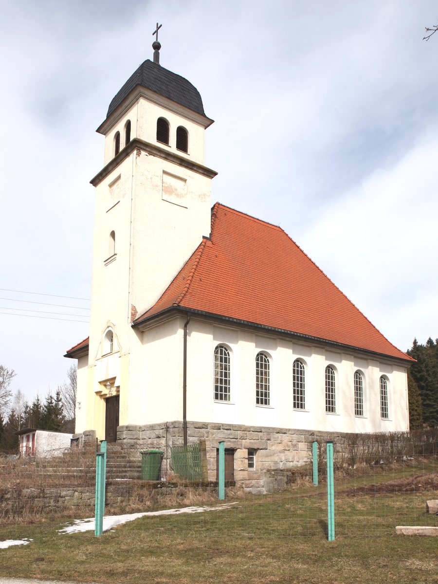
History of Brattendorf
Brattendorf was first mentioned in a document in 1317 in the “Saalbuch.” The Saalbuch was a register belonging to the Counts of Henneberg. Another historical turning point followed in 1928: that year, Brattendorf acquired its own church, making the Protestant parish independent. The dates represent different aspects of the town’s history. 1317 marks its first documented mention, while 1928 marks the parish’s independence after it acquired its own church. Those interested in historical references will find both an early written record and a later step in the development of the church community here.
Hiking Trails and Landscape in Auengrund
In the wider travel destination of Auengrund, the 7.5-kilometre “Crocker Kesseltal” Nature Park Trail loops around Crock. The route climbs and descends steadily over around 200 metres of elevation through a varied natural landscape on the southern slopes of the Thuringian Forest. The distance and elevation gain offer two different points of reference for planning: as well as the distance to cover, repeated ascents and descents are part of the route profile. Check current trail conditions before setting out on a hike.
The wider travel destination of Auengrund also offers natural hiking trails through extensive woodland for hiking and cycling. The circular trail near Crock is a named route; the wider travel destination of Auengrund also offers natural hiking trails through extensive woodland for hiking and cycling, so you can choose between the two options. Depending on your interests, you can weigh up a named route against broader guidance on activities in the destination.
Other Places and Historical References in Auengrund
In the wider travel destination of Auengrund, Wiedersbach lies in the valley of the stream of the same name. The village is surrounded by mountains and is located in the Hildburghäuser Wald protected landscape area. The natural features surrounding Wiedersbach include the Elsterbachtal and Dinkelshaak nature reserves, the Wiedersbach moors, and the Ratscher reservoir.
Historical and cultural points of interest are also spread across other places in the wider travel destination of Auengrund. The church tower in Wiedersbach dates from 1601. A landwehr was built in the Poppenwind district, formerly also known as “Lampr.” Schwarzbach has a karting track described as the largest outdoor karting track in southern Thuringia. If you plan to visit the track, check in advance whether a visit is possible on your chosen date. In Crock, too, local associations built a swimming pool and an open-air stage on their own initiative in the 1970s; at the time, they hosted cultural and leisure activities.
Discover more destinations: Wiedersbach.
Go to the wider travel overview: Auengrund.

