
Welleringhausen: Nature Trails and Local History
Accommodation in Welleringhausen
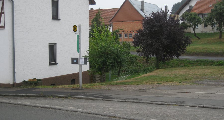 File:Bushaltestelle NVV Welleringhausen Mitte, Willingen (Upland)(1).JPG
Photo: max60watt via Wikimedia Commons, Public domain
File:Bushaltestelle NVV Welleringhausen Mitte, Willingen (Upland)(1).JPG
Photo: max60watt via Wikimedia Commons, Public domain
If you are looking for accommodation in Welleringhausen and would like to combine your days with activity, landscapes and local history, the village offers several clearly distinct points of interest. Two circular hiking trails are particularly interesting for planning your visit: one combines geological topics with local history, while the other leads through the landscape of Diemelsee Nature Park at the foot of a long-extinct volcano. In addition, there are set visiting hours at the Abraham Church, distinctive landscape areas and traces of former mining.
- Nature and local history can be explored via two circular hiking trails with different focuses.
- Geological topics can be encountered at information boards, rock outcrops and historic mining traces.
- The landscape includes acidic nutrient-poor grasslands, old fruit trees and distinctive areas around Grotenberg, Kuthenberg and Hülsenberg.
- At Kuthenberg and in the Ohl area, relics of former gold and ore mining have been preserved.
- The Abraham Church in Welleringhausen is open to visitors from Wednesday to Sunday, from 10:00 a.m. to 6:00 p.m.
- The Uplandsteig passes Grotenberg; one described route runs along the district road towards the B 251.
Circular Trails Between Nature and Local History
The Welleringhausen History Trail is a 6.41 km circular hiking trail of moderate difficulty. Along the trail, information boards provide details about geological features and local history. This also includes the history of a former Jewish settlement that became an abandoned settlement site. If, when hiking, you would like not only to look at the landscape but also to understand historical connections, the focus here is on the link between the trail, information and the development of the village.
By contrast, the 6.76 km Welleringhausen Volcano Trail is designated as an easy circular hiking trail in Diemelsee Nature Park. It runs along the foot of the long-extinct Grotenberg volcano and features typical plants such as maiden pink, field thyme and wall pepper. The different difficulty levels and themes of the two trails help you adapt your daily plans to your preferred focus without treating the routes as equivalent.
Volcanic Landscape Around Grotenberg
Ten hectares of acidic nutrient-poor grassland have been preserved on the southern slope of Grotenberg near Welleringhausen. These areas are characteristic of depleted diabase sites on the eastern Sauerland mountain fringe.
The volcanic rocks in the landscape around Welleringhausen are known as “Welleringhausen volcaniclastics.” They are exposed in exemplary form at Grotenberg and Kuthenberg. The technical term refers to the rocks and their geological classification; it should not be equated with a statement about current volcanic activity. This distinction may be helpful if you want to place the information boards, landscape forms and rock outcrops in context.
The Welleringhausen apple avenue is also part of the landscape. There, old apple and pear trees preserve rare fruit varieties that can still withstand the harsh climate of the Upland mountains today.
Traces of Mining and Former Settlements
There is a large diabase quarry at Kuthenberg. Collapsed mine entrances on the slopes and mining pits on the ridge bear witness to former gold and ore mining. Gold was also mined in the 13th to 15th centuries in the Ohl area on the northern slope of Hülsenberg. Today, numerous depressions in the terrain can be seen there as relics of gold mining pits; in addition, there were horizontal adits driven into the mountain.
Another historical trace can be found in the surrounding landscape of the abandoned settlement of Wieferinghausen. Reliefs of former paths and building sites are still recognisable there. Together with the mining relics, they create a picture of earlier land use that differs from the natural history topics of the circular trails and adds observations of cultural history to your visit.
Church and Spatial Orientation
The Abraham Church in Welleringhausen is open to visitors from Wednesday to Sunday, from 10:00 a.m. to 6:00 p.m.
The Uplandsteig passes Grotenberg. From Welleringhausen, after 250 m along the district road towards the B 251, you then reach the south-western corner of the nature reserve by turning right.
If you would like to compare other places with Welleringhausen, you can also include Eimelrod, Rattlar, Schwalefeld, Usseln, Neerdar and Bömighausen in your orientation.
For the higher-level travel overview: Willingen.

(1).JPG)