
Wallenfels between Castle Hill, the Wilhelmsteine and cycle paths
Accommodation in Wallenfels
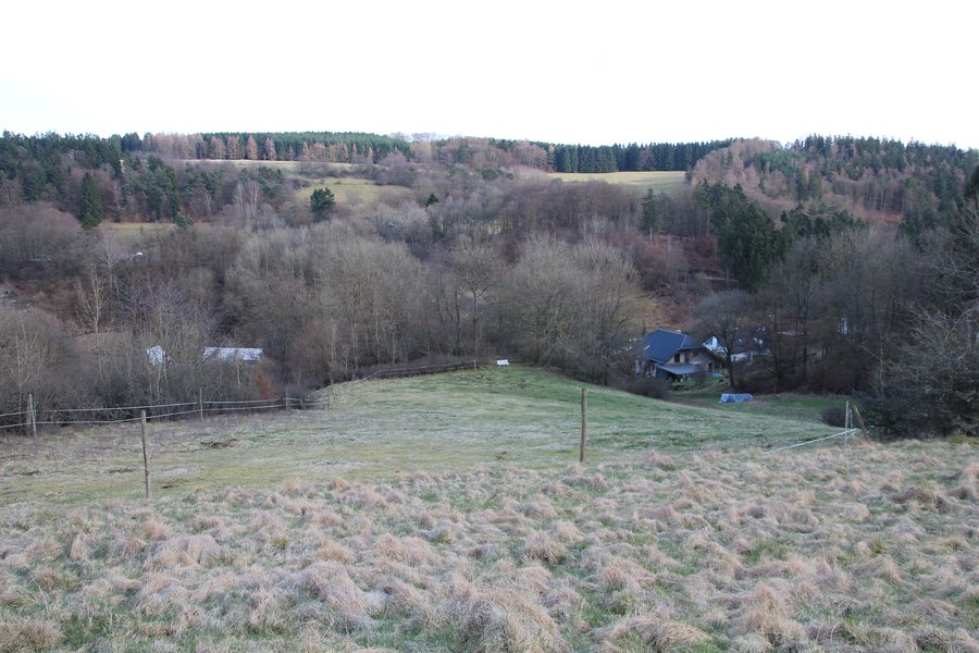 File:Wallenfels (Siegbach) (001).JPG
Photo: Gerold Rosenberg ( talk ) 22:50, 27 March 2016 (UTC) via Wikimedia Commons, CC BY-SA 3.0
File:Wallenfels (Siegbach) (001).JPG
Photo: Gerold Rosenberg ( talk ) 22:50, 27 March 2016 (UTC) via Wikimedia Commons, CC BY-SA 3.0
Historic townscape around Castle Hill
In Wallenfels, the character of a small settlement built around a castle is still clearly recognisable. Untergasse and Obergasse curve around Castle Hill. Those who take their bearings from the townscape will find the historic structure in the connection between these two streets and the elevated terrain.
The historic settlement pattern of Wallenfels includes numerous two- and three-sided farmsteads dating from the 18th century. Particularly many of these farm complexes are located in Obergasse and at the northeastern end of Untergasse. The terms two-sided and three-sided refer to the arrangement of the buildings around the farmyard: in a two-sided farmstead, the buildings stand on two sides of the yard, while in a three-sided farmstead they stand on three sides. The farmyard is the open space enclosed by the buildings on two or three sides.
Origins of the castle settlement
Wallenfels dates back to the construction of Wallenfels Castle by Heinrich I of Hesse around 1300. The castle was built on a conical hill southeast of the Angelburg. Its foundation on the conical hill connects Wallenfels with the area southeast of the Angelburg.
The Wilhelmsteine in the Schelder Forest
The Wilhelmsteine are designated as a natural monument in the Wallenfels cadastral district and form an iron chert rock formation covering an area of approximately 2 hectares. In the Schelder Forest, the rock formation lies in a small area surrounded by tall beech trees. The highest rocks reach approximately 15 metres.
The Wilhelmsteine in the Schelder Forest are a geotope within the Westerwald-Lahn-Taunus National Geopark. Today, the Wilhelmsteine are a popular hiking and excursion destination. For generations, they have been the annual setting for open-air church services on Ascension Day.
Getting to the Wilhelmsteine
The Wilhelmsteine can be reached from a gravel car park on the K53 between Tringenstein and Hirzenhain. The car park can be identified by a wooden pavilion. Wallenfels lies directly on the edge of the forest. Those heading for the Wilhelmsteine should follow the K53 and look for the gravel car park and wooden pavilion.
Cycle paths and route characteristics
The cycling connections around Wallenfels have different route characteristics. The Salzböde Cycle Path begins at Obergasse in Siegbach-Wallenfels. The Lakes Cycle Path continues towards Wallenfels along gravel forest tracks with a steep gradient. On the section of the cycle path from Wallenfels towards Eisemroth, the route has a gradient of approximately 7 percent. This section runs on public roads as far as the Eisemroth outdoor swimming pool.
For route planning, this means a change from a gravel forest track to a public road. The surface and gradient are therefore specific planning factors when assessing a cycling stage. Gravel forest tracks with steep gradients and public roads leading to the outdoor swimming pool differ in terms of their surface and route layout. Those planning a route towards Eisemroth can also take the approximate figure of 7 percent into account when choosing their own route.
For the broader travel overview: Siegbach.

_(001).JPG)