
Burgsalach: Hotels and Accommodations
Accommodation in Burgsalach
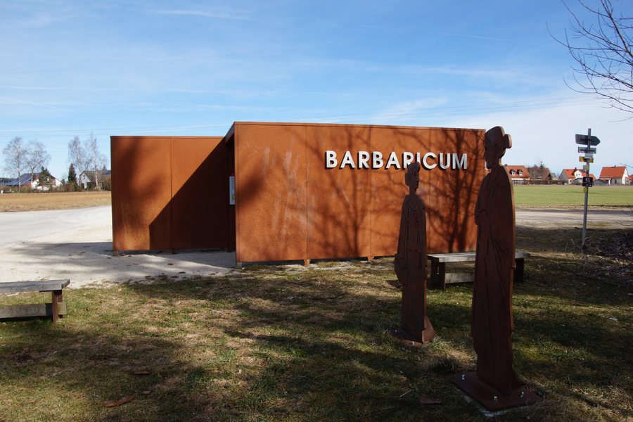
Burgsalach is located on the plateau of the Weißenburger Alb, which is part of the plateaus of the Franconian Alb, near the Limes. The location combines a distinctive landscape with surroundings where Roman history and other named places are closely situated together.
If you would like to find accommodation in Burgsalach, you can set the town as the destination for your search.
Geographical Location
Burgsalach is a municipality in the district of Weißenburg-Gunzenhausen in Middle Franconia and belongs to the Nennslingen administrative community. State roads 2227 and 2228 meet in Burgsalach.
History and Culture
The Raetian Limes, once the northern boundary of the Roman province of Raetia, crosses the plateau near Burgsalach. The Burgus Burgsalach is a late Roman small fort. Its foundations, the foundations of a stone watchtower, and a reconstructed wooden watchtower have been preserved as evidence of Roman rule.
The earthwork fort Burgsalach and Syburg Castle are located in the immediate vicinity of Burgsalach. Alte Bürg, Kaldorf small fort, and Dachsbau are also located in the surrounding area.
Landscape and Bodies of Water
The Wildhau woodland lies south of Burgsalach, while Büchelberg rises to the north. The Anlauter flows past the northeastern part of the municipality and is fed by the Aschbach within the municipal area.
The immediate surroundings also include the Steinerne Rinne (Rohrbach) and Hohlspiegel. The Eichelberg is also located in the surrounding area.
For the higher-level travel overview: Nennslingen.

