
Rattiszell: Hotels and Accommodation
Accommodation in Rattiszell
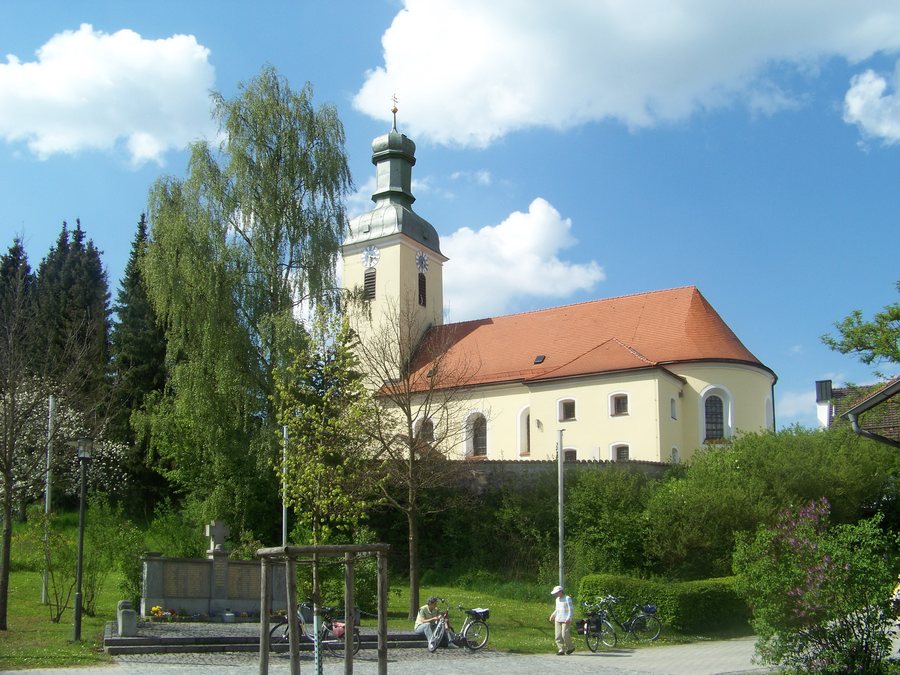 File:Rattiszell-kath-Pfarrkirche-Sankt-Benedikt.jpg
Photo: Elcom.stadler via Wikimedia Commons, CC BY-SA 4.0
File:Rattiszell-kath-Pfarrkirche-Sankt-Benedikt.jpg
Photo: Elcom.stadler via Wikimedia Commons, CC BY-SA 4.0
Sicklasberg, a mountain, lies roughly in the area surrounding Rattiszell.
When planning your stay in Rattiszell, you can search specifically for accommodation.
Landscape
Kramerschopf, a mountain, lies roughly in the area surrounding Rattiszell.
Nierenberg, a mountain, lies roughly in the area surrounding Rattiszell.
Käsplatte, a mountain, lies roughly in the area surrounding Rattiszell.
Culture and History
Mitterfels Castle, a castle, lies roughly in the area surrounding the town centre of Rattiszell.
St. George's Church, a church, lies roughly in the area surrounding the town centre of Rattiszell.
The Neunussberg castle ruins are located roughly in the wider regional area surrounding Rattiszell.
The parish church of St. Bartholomew in Niedermotzing is also located roughly in the wider regional area surrounding Rattiszell.
Historically, Rattiszell was part of the Electorate of Bavaria and constituted a self-contained Hofmark, whose seat was Rattiszell.
Town and Administration
Rattiszell is a municipality in the Lower Bavarian district of Straubing-Bogen. The settlement of the same name is the seat of the municipal administration.
Rattiszell has the parish church of St. Benedict.
Transport Connections
The B20 federal highway runs west of Rattiszell from north to south and connects to the A3 motorway near the Straubing interchange. The interchange is located about 10 kilometres to the south.
Other town pages: Wiesenfelden, Hunderdorf, Mitterfels, Sankt Englmar, Schwarzach, Rattenberg, Konzell.
For the overarching travel overview: Straubing-Bogen.

