
Schwenningen: Hotels and accommodations
Accommodation in Schwenningen
In Schwenningen, there are groomed cross-country ski trails between 810 and 950 meters above sea level. The Heuberg trail is a 16-kilometer loop that combines a hiking trail and a double-track cross-country ski trail.
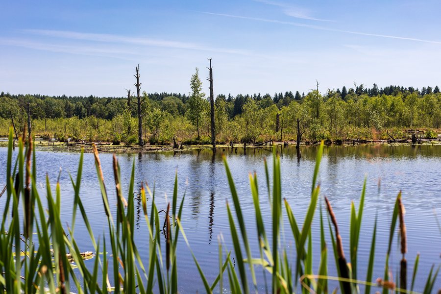 File:Villingen-Schwenningen, Schwenningen, Schwenniger Moos -- 2025 -- 8312.jpg
Photo: Dietmar Rabich via Wikimedia Commons, CC BY-SA 4.0
File:Villingen-Schwenningen, Schwenningen, Schwenniger Moos -- 2025 -- 8312.jpg
Photo: Dietmar Rabich via Wikimedia Commons, CC BY-SA 4.0
If you would like to book a hotel in Schwenningen, the booking section will assist you with your selection.
Nature
Schwenningen is located at an altitude of around 870 meters in the Upper Danube Nature Park, on the Heuberg plateau of the southwestern Swabian Jura. To the west of the town lies Schnaitkapf, which, at 920.3 meters, is the highest elevation in the Sigmaringen district.
The surrounding area of Schwenningen includes Weichenwang, Baienberg, Reiten (south) and Alter Berg. The ruins of Langenfels Castle and Falkenstein Castle are also located in the surrounding area of Schwenningen.
Culture
The ruins of Wagenburg Castle and Heidenschloß Castle are located in the vicinity of Schwenningen.
Schwenningen was first mentioned in a document issued by King Henry II under the name “Suanninga” and was historically associated with Werenwag Lordship. The annual Strohpark festival in Schwenningen features sculptures made of straw.
Routes
Schwenningen is a member of the Donaubergland Tourist Association and is located on the Hohenzollern Road scenic route between the Swabian Jura and Lake Constance.
Further destinations: Gammertingen, Beuron, Leibertingen, Veringenstadt, Krumbach.
To the overview of destinations: Sigmaringen.

