
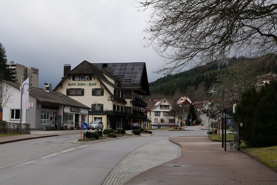
You would like to find and book a hotel in Obertal.
Hiking
The hike to the Genussplatz at Walterhütte in Obertal is challenging. It is approximately 7.35 km long, includes around 254 metres of elevation gain, and takes about three hours.
Another challenging high-altitude hike begins at the Adler Obertal bus stop and leads via the Lotharpfad, the Westweg, and the Schliffkopf. The route is approximately 21.7 km long and takes about 6 hours 30 minutes.
Geographical location
Tomasberg, Wolfachhöhe, Heidenkopf, and Kleinleinkopf are located in the immediate vicinity of Obertal.
Culture
The wider regional area around Obertal is home to the Brewery Museum, Waldschloß, Altensteig Castle, and Wolfach Ruins.
Buhlbach trout from the Forellenhof Buhlbach's own breeding facilities is recommended for tasting.
For more information, visit Schwarzenberg.

