
Mas-D'orcières: Hotels and accommodations
Accommodation in Mas-D'orcières
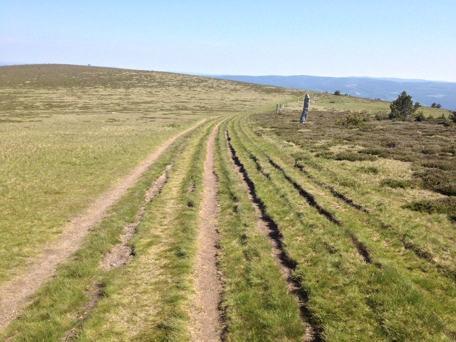 File:48190 Mas-d'Orcières, France - panoramio.jpg
Photo: jim walton via Wikimedia Commons, CC BY 3.0
File:48190 Mas-d'Orcières, France - panoramio.jpg
Photo: jim walton via Wikimedia Commons, CC BY 3.0
The Lozerette route begins in Mas-d'Orcières and is signposted with yellow PR markings. The Auriac–Oultet route begins in the village of Mas-d'Orcières. Trail Château du Tournel No. 10 begins at Les Thermes in Mas-d'Orcières.
You would like to find and book a hotel in Mas-d'Orcières.
Nature
The Lozerette route is an 18.9859 km circular hike with 663 metres of elevation gain and loss respectively, and an average duration of 5 hours and 30 minutes. The Auriac–Oultet route is a 22.7772 km circular hike with 1,025 metres of elevation gain and loss respectively, and an average duration of 8 hours and 30 minutes. Route 10 is a 20.2939 km circular route with 997 metres of ascent, 996 metres of descent and an average duration of 2 hours and 30 minutes.
Route 10 takes you on a hike to discover Lozerette, Mas-d'Orcières and Château du Tournel, offering mountain panoramas. The Lozerette route runs along the ridge of Mont Lozère, east of Valdonnez, and leads in particular towards the Ruisseau de Serviès.
Culture
Mas-d'Orcières is home to the Saint-Privat church and priory. The Saint-Privat church in Mas-d'Orcières was built in 1824 on the site of an earlier sanctuary.
The storm bell tower of Serviès stands opposite the washhouse and is a granite-built clocher-mur (wall bell tower). It is one of five storm bell towers on the slopes of Mont Lozère that have been classified as historic monuments since 1992. The bell of the storm bell tower of Serviès dates from 1778.
Further information about the area: Le Bleymard.
For the overarching travel overview: Lozère.

