
Vorderlanersbach: Cross-country skiing, hiking trails and excursion destinations
Accommodation in Vorderlanersbach
The Testbrücke in Vorderlanersbach is designated as an access point for cross-country skiing. When planning a stay, you can also use hiking trails of varying lengths and difficulty ratings, a moderately difficult mountain biking route, the Playarena Tux and two chapels as specific points of reference. If you are looking for accommodation in Vorderlanersbach, it helps to start by distinguishing between the activities: the route details refer to hiking and cycling tours, while the Playarena is an indoor attraction.
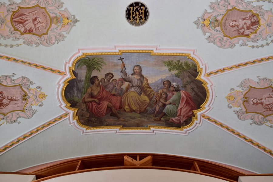 File:Tux-Vorderlanersbach - Pfarrkirche hl Thomas - Deckenfresken - I.jpg
Photo: Haeferl via Wikimedia Commons, CC-BY-SA-4.0
Hiking trails: distance, difficulty and endpoint
The Tuxbach Adventure Trail is an easy, 10.2 km family adventure trail between Tux-Vorderlanersbach and Hintertux. Its starting point is signposted opposite the Maria-Hilf Chapel, near the Hotel Alpenjuwel. This gives you both the route between the villages and a clearly identified starting point to help you find your way. Seasonal conditions may vary; check them before your tour. Another separately named route is the Tux Valley Hiking Trail: it starts in Tux-Vorderlanersbach and ends in Hintertux.
The moderately difficult Almenpanorama Penken–Wanglalm hike is 12.7 km long, is a one-way route and ends in Tux-Vorderlanersbach. The moderately difficult Moorlehrpfad-Naturwelt is also a one-way route and ends there; it is 6.9 km long and has an educational focus on nature. In direct comparison, both routes are moderately difficult and have the same endpoint. The Almenpanorama is 5.8 km longer. This lets you identify distance as a specific difference between the two tours, without losing sight of their shared difficulty rating or endpoint.
Mountain biking with specific route details
The moderately difficult Tux-Vorderlanersbach–Geiselhöfe–Geiseljoch e-mountain biking or mountain biking route starts in Tux-Vorderlanersbach and ends at the Geiseljoch. It is 12.1 km long; the maximum elevation is 2,292 m and the stated duration is two hours. Distance, maximum elevation and duration provide different points of reference for planning the tour. As route conditions and access may change, check both again before setting off.
Chapels and history
The Maria-Hilf Chapel in Vorderlanersbach acquired its present form in the early 19th century in the post-Baroque style. The Barbara Chapel was built in 1953 and is located above Tux-Vorderlanersbach, near the former magnesite works. The distinction between the dates is important: the early 19th century refers to the present form of the Maria-Hilf Chapel; 1953 is the year the Barbara Chapel was built. This helps put the two historical dates into context without treating them as the same kind of dating.
Playarena and practical information
The Playarena Tux is a 1,200 m² indoor play park. Activities include trampolines, a climbing park and a high ropes course. The address is Vorderlanersbach 286, A-6293 Tux-Zillertal. As an indoor attraction, the Playarena offers a different kind of excursion from the hiking and cycling tours described above.
A day parking area is designated for tours starting in Tux-Vorderlanersbach. Availability and operating rules may change; check them before setting off. Discover more destinations: Hintertux.
For the overview of the wider area: Tux.

