
Reith bei Seefeld: Moorland, Trails and History
Accommodation in Reith bei Seefeld
Reith bei Seefeld offers several reasons to stay: a moorland landscape, a variety of hiking trails, a rail connection and historic sites. These themes are easy to distinguish: a stroll through a nature reserve is different from an easy circular route or a hike with explicitly stated requirements.
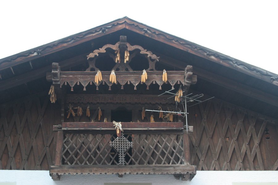 File:Reith bei Seefeld, Austria. August 2016. (33536854224).jpg
Photo: Alexander Baranov from Montpellier, France via Wikimedia Commons, CC-BY-2.0
Moorland and nature
The Reither Moor is a mountain pine bog formed as Lake Seefeld Wildsee gradually silted up. Its formation gives the moor a specific connection to the local landscape. From the car park on Scharnitzer Straße, a gravel path leads through the Reither Moor nature reserve. Local conditions may vary; check them before your visit.
The Reither Spitze also serves as a landmark: Reith lies directly at its distinctive foot. The Schlossbachklamm offers a different kind of landscape, with characteristic gorges and small waterfalls. Together, these places showcase different natural features without requiring the same kind of outing.
Hiking trails with different focuses
The Reith cultural trail is an easy circular route. It starts and ends at Reith train station. If you are looking for a circular route with a fixed starting and ending point, this offers clear guidance. The Bee Nature Trail, by contrast, is designed as a themed trail for families and children; its themed character is the main focus.
A hike to the Schlossbachklamm can also start at Reith train station and follow part of the old Roman road and the Leithen forest trail. This hike requires summer access and sure-footedness. These requirements are part of planning the route: check them before deciding to take it. The trails described here therefore differ in their stated character and requirements; no hiking time is given for them here.
The Karwendel Railway is useful for getting between places. It connects Reith with Seefeld, Scharnitz and the provincial capital, Innsbruck. If you are planning trips, check the current timetable.
Churches, chapels and memorial sites
The parish church of St. Nicholas in Reith was first mentioned in a document dating from 1391. The dates associated with St. Magnus Chapel distinguish its construction history from its later history: it was built as a Baroque chapel in 1780. In 1980, it was demolished and relocated in its original form to higher ground 50 m to the north.
The Rosary Way in Reith leads to the Frau Häusl Chapel. Another historic landmark is the plague column in Leithen. It commemorates the hardships of the Thirty Years’ War, when passing troops brought the plague to the region. The striking wayside shrine on the outskirts of Leithen, in the direction of Reith, is known locally as the “Dicker Turm” (“Fat Tower”). The year 1611 is carved into the weathered column at the wooden wayside shrine at “Gstoag”. These names and dates give each memorial site its own historical significance.
The Auland wildlife park is located near the destination. It is also easily accessible by wheelchair.
Discover more destinations: Auland, Scharnitz, Vals, Ellbögen, Schönberg im Stubaital, Birgitz, Kolsass and Tulfes.
Go to the regional travel overview: Innsbruck-Land.

