
Krakauhintermühlen: Hammer Mill and St. Ulrich
Accommodation in Krakauhintermühlen
If you are looking for accommodation for a stay in Krakauhintermühlen, you can plan your trip around the interests that matter to you. These range from cultural history to alpine landscapes, hiking and fishing. The hammer mill and the branch church of St. Ulrich are located in Krakauhintermühlen. For other activities, specific information about elevation, trail length, walking time and seasonal conditions can help you plan.
Cultural History and Craftsmanship
The hammer mill in Krakauhintermühlen was used as a toolsmith’s workshop and residence until 1966. Its tail hammer is powered by a breastshot waterwheel. This brings together two aspects: the building’s former use and the hammer’s technology. “Breastshot” describes the way the waterwheel is driven. This offers a tangible point of interest for anyone interested in historic craft techniques. The branch church of St. Ulrich in Krakauhintermühlen houses a Gothic winged altar and is regarded as a gem of Styria. St. Ulrich Church on Hollerberg was built in 1478.
Huts, Landscape and Mountain Hike
The Grazer Hütte is located at the foot of the 2,740 m-high Preber. The Rudolf-Schober-Hütte lies at an elevation of 1,667 m in one of Austria’s largest Swiss stone pine forests. These details highlight different aspects of the landscape: the Grazer Hütte is associated with the Preber, while the Rudolf-Schober-Hütte is notable for its elevation and Swiss stone pine forest. With a little luck, you may spot ibex, white-tailed eagles and even bearded vultures in the area around the Rudolf-Schober-Hütte; sightings depend on the season. The crossing from the Grazer Hütte to the Rudolf-Schober-Hütte is possible, is considered a challenging mountain hike and takes around 10 hours of walking. It is suitable only for hikers in good physical condition. When planning, take both the lengthy duration and the fitness required into account.
Lake Etrachsee
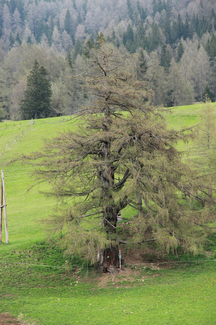
Lake Etrachsee lies at an elevation of 1,374 m between the most inland areas of the Niedere Tauern, Rupprechtseck and Bauleiteck. Lush alpine meadows and imposing larch trees frame the lake. There is a 2 km circular hiking trail at Lake Etrachsee. Check seasonal conditions before setting out. The difference between the two routes is clear when comparing them: the circular trail has a stated distance, while the hut crossing also has a walking time and is described as challenging. This lets you assess the two options by distance or by walking time and difficulty.
Fishing on the Etrachbach
Fishing is permitted on the Etrachbach for 4 km downstream from the lake outflow. Along the left branch, a section is open for fishing for 2 km upstream to its source. Fishing is subject to seasonal operating conditions and local restrictions. Check these conditions for your planned dates.
Practical Planning
A car park is available at Klausnerbergsäge for the hike; availability may depend on local conditions. Confirm this before your arrival.
Discover more destinations: Sankt Georgen Ob Murau, Sankt Blasen, Schöder, Sankt Marein Bei Neumarkt, Mariahof, Stolzalpe, Teufenbach, Stadl An Der Mur.
View the broader travel overview: Murau District.

