
Mörel: Hotels and accommodation
Accommodation in Mörel
A named circular hiking route leads from Mörel-Filet to Tunetschalp and back. It starts at Mörel-Filet railway station and returns there via Filet.
You would like to find and book a hotel for your stay in Mörel.
Hiking and culture
The route passes through diverse vegetation and natural and cultural landscapes, as well as forests, meadows and alpine pastures.
Three cultural and themed trails are available on Tunetschalp: the Chapel Trail, Nieschrund Trail and Lime Kiln Trail.
Nature
Chriesihorn, Folluhorn and Grosse Huwetz are located near Mörel. Punta d'Aurona is located in the surrounding area of Mörel. Gmeinalp is located in the wider regional area around Mörel.
Geographical location
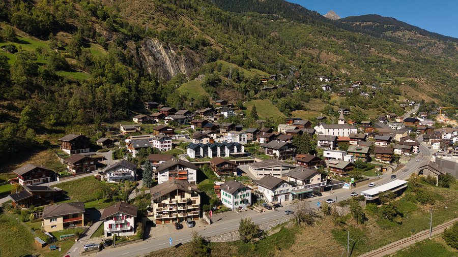
Mörel-Filet is located in Upper Valais on the Rhône, around ten kilometres northeast of Brig. The municipality includes Mörel on the northwestern bank and Filet on the southeastern bank of the Rhône.
Mörel is a locality in the municipality of Mörel-Filet in the canton of Valais, Switzerland.
You can also visit the locality page Breiten.
To the higher-level travel overview: Raron region.
More destinations
More places at the same destination:

