
Werdenberg: Hotels and accommodations
Accommodation in Werdenberg
Werdenberg is classified as a historic settlement of national importance and is listed in the Swiss Inventory of Heritage Sites of National Importance.
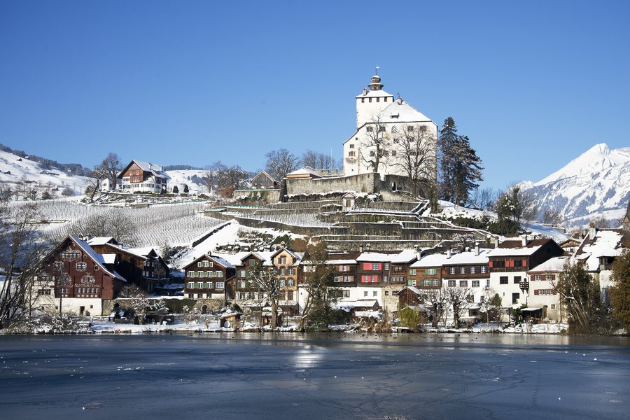
Geographical location
The Werdenberg electoral district is an administrative unit of the Swiss canton of St. Gallen and forms the Werdenberg region in the St. Gallen Rhine Valley. The district is also located in the greater Alpine Rhine Valley; its elevations range from 428 to 2,385 meters above sea level.
You may wish to book a hotel in Werdenberg for your stay.
Culture and history
The district’s cultural identity is linked to the medieval town of Werdenberg and Werdenberg Castle; the district is named after both.
A 9.9-kilometer hiking trail runs through the wider Werdenberg area from Wartau via Buchs to the medieval town of Werdenberg. The trail provides access to the Werdenberg museums, including the castle and the Snake House.
Landscape
Werdenberg Castle and the medieval town of Werdenberg are connected to Lake Werdenberg.
The surrounding area of the Werdenberg electoral district includes Red House, Nägelehötta, Gafleispitze, Gätterifirst, Kreuzberg No. 4, and Drei Schwestern.
The wider regional surroundings of the Werdenberg electoral district include Rosenegg and Falkenstein Ruins.
In the historic town center
The historic town center of Werdenberg has restaurants and cafés.
Other local pages: Sennwald, Sevelen, Gams.
To the higher-level travel overview: Canton of St. Gallen.
More destinations
More places within the same destination:

