
Gänsbrunnen: Hotels and Accommodation
Accommodation in Gänsbrunnen
Gänsbrunnen combines a clearly defined geographical location with a distinctive landscape in the Solothurn Jura. The village is a dispersed settlement in the basin of the Bantlibach Valley, at the western end of the Balsthal Jura longitudinal valley and at the northern foot of the Weissenstein range.
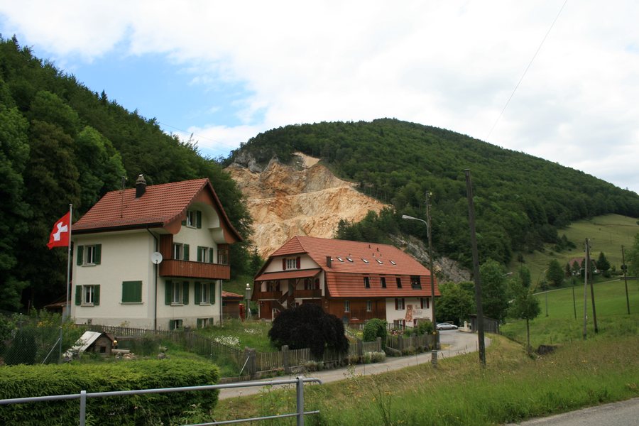
Geographical Location
Gänsbrunnen belongs to the municipality of Welschenrohr-Gänsbrunnen in the Thal District of the Canton of Solothurn, Switzerland. The village lies approximately 731 metres above sea level and is located 8 km northwest of Solothurn as the crow flies.
Landscape and Waterways
The Gänsbrunnen basin is part of a strongly relief-dominated section of the Solothurn Jura. This is where the Bantlibach and Rüschbach meet. The resulting river, La Raus, flows northwest through the Gänsbrunnen Gorge to the Birs.
The surrounding region of Gänsbrunnen includes Ruchen, Le Châtillon, Cras au Sauvage and Spitzenflüeli. The geographical setting therefore extends beyond the immediate settlement basin into the Jura landscape, characterised by pronounced relief.
Places in the Surrounding Area
The Voliere Solothurn and Bipp are located in the vicinity of Gänsbrunnen. The wider surrounding region also includes Lützel Abbey and Château de Morimont.
If you would like to stay overnight in Gänsbrunnen, you can find accommodation.
More information about nearby places: Balsthal, Welschenrohr.
To the higher-level travel overview: Thal.

