
Muotathal: Hotels and accommodations
Accommodation in Muotathal
You would like to book a hotel in Muotathal.
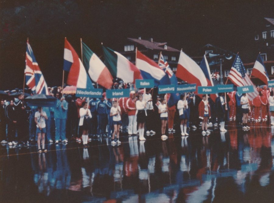 File:1973 ICF Canoe Slalom World Championships, Muotathal Switzerland 02.jpg
Photo: Ridiculopathy via Wikimedia Commons, CC0
File:1973 ICF Canoe Slalom World Championships, Muotathal Switzerland 02.jpg
Photo: Ridiculopathy via Wikimedia Commons, CC0
Geographical location
Muotathal is a municipality in the district and canton of Schwyz. The village lies at an elevation of approximately 610 metres above sea level and borders the cantons of Uri and Glarus. Muotathal can be reached via the A4 motorway via Schwyz. Bus access to the Muota hiking route is available via the Nuschlau and Vordere Brücke stops.
Nature
In the upper Muotathal valley lies the Glattalp area, a natural environment with alpine vegetation and grazing animals. The area also includes Lake Glattalp, as well as hiking trails towards the Pfaff viewpoint and the Klausen Pass.
Trails
The Guggeli circular route is a winter hiking trail on the sunny side of the valley. It leads through forests, past streams, across pastureland and to viewpoints. The route begins in Wil, which is considered the oldest part of Muotathal, and passes the St. Josef Monastery. Franciscan nuns continue to live and work there. The monastery is also associated with General Suvorov’s campaign of 1799.
The Muotatal valley combines the Muotabach stream, agricultural land on the valley floor and the surrounding mountain landscape. Another winter hiking trail follows the Muota and the valley floor. Access is possible from the Vordere Brücke bus stop or from the Rambach car park.
Culture and surroundings
Muotathal Monastery, Höch Gütsch, Ochsenblätzli and Ross are located in the immediate surroundings of Muotathal. Firsthöreli lies in the surrounding area, while Rapperswil Monastery is located in the wider regional area around Muotathal.
To the main travel overview: Schwyz District.
More destinations
More places within the same destination:

