
Anyone wishing to book a hotel in Fleurier should look for accommodation directly under the place name Fleurier.
Landscape
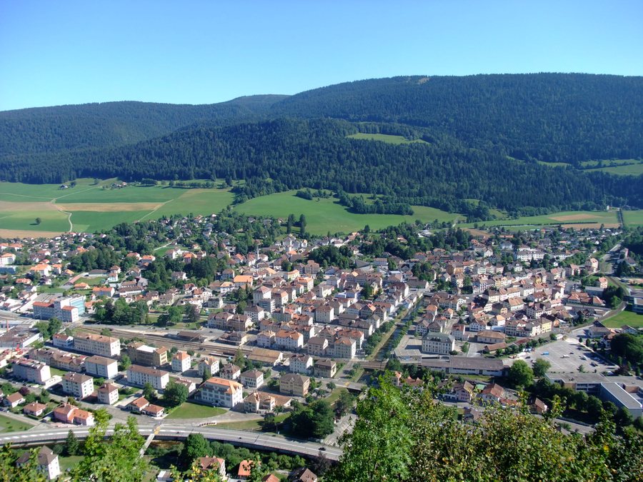
The former municipality of Fleurier covered a 7.7 km² territory comprising a roughly 1 km-wide flat valley floor in the western Val de Travers, the Vallon du Buttes, elevations around Haut de la Vy and Montagne de Buttes, and—in the broader local landscape—the densely forested northern flank of the Chasseron range. The highest point of the former municipality reached 1,330 m.
Mont de Baulmes, Le Crêt Breny and Mont de Couvet are located in the immediate vicinity of Fleurier. Montagne de Boudry lies in the wider regional surroundings of Fleurier.
Culture
Menhirs de Clendy is located in the vicinity of Fleurier. Château de Gorgier, Château de Joux and Abbaye de Mont-Sainte-Marie are situated in the wider regional surroundings.

