
Bramboden: Hotels and Accommodation
Accommodation in Bramboden
Bramboden is named as part of the «Around the Canton of Lucerne» hiking route. The route includes the signposted Köhlerweg themed trail; its information boards explain the historical craft of charcoal burning.
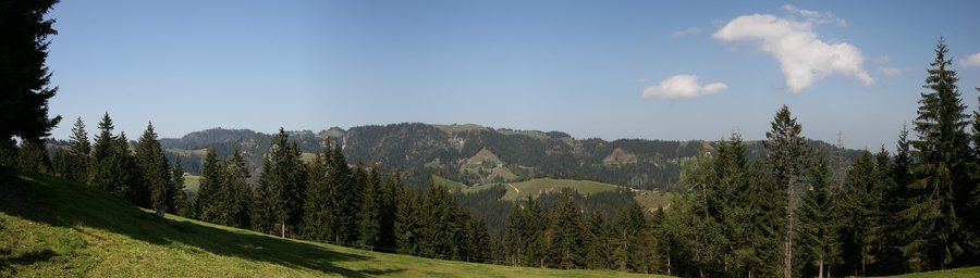
The route describes the wider area as the Napf region and the Entlebuch UNESCO Biosphere. The hiking stages associated with Bramboden lead through typical Entlebuch landscapes with forests, pastures, and hills. The views extend into valleys and gorges as well as to the distant Alps.
Bramboden is the larger settlement of Romoos. The village lies at 1,053 metres above sea level and 4.8 kilometres southwest of the village centre.
For a stay in Bramboden, you can search specifically for suitable accommodation.
Geographical Location
Beichle and Rickhubel are located in the area around Bramboden. In the wider regional area are Wasserspitz and Wachthubel.
Also located in the wider regional area of Bramboden are Wartensee Castle, Wildpark Brienz, and Sankt Margrete.
For the broader travel overview: Romoos.

