
Nidfurn: Hotels and Accommodation
Accommodation in Nidfurn
Nidfurn lies in a south-facing section of the valley that widens to around one kilometre. The surrounding municipal area is predominantly wooded and characterised by agriculture. Vrenelisgärtli and Schönau are located nearby; Vorderchammstock and Rad are also situated in the surrounding area.
Geographical location
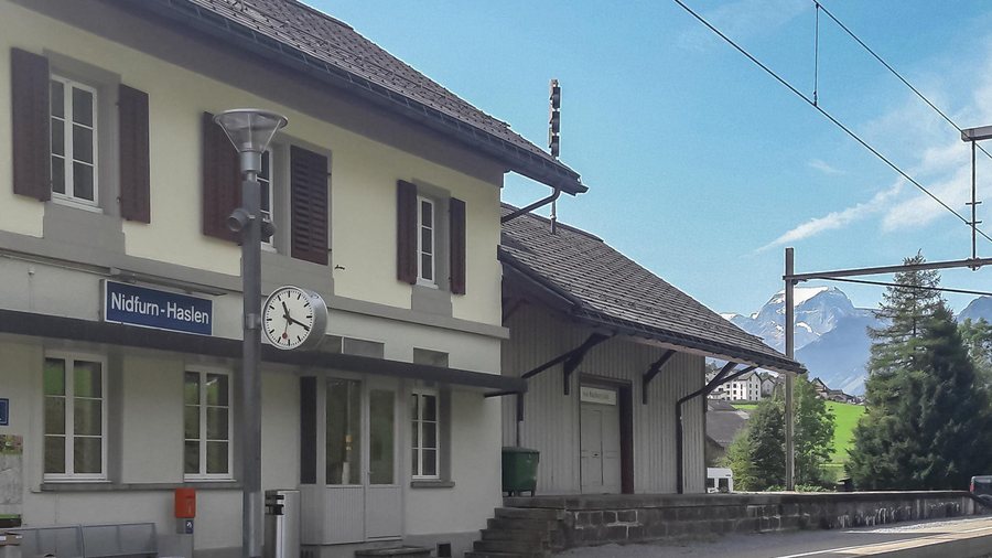
Several elevations are recorded for Nidfurn: 540 m at Nidfurn-Haslen station, 578 m at Hirschenbrunnen and 620 m near Bündtrain. In the wider regional surroundings lies Muotathal Monastery.
History
Around 1300, Nidfurn was first recorded in the Habsburg land register under the name «ze Nitfiure». Its documented history includes medieval connections to Säckingen Abbey; a predominantly Reformed population has been recorded since 1528.
Historically documented economic activities included a timber cooperative, bleaching and hand-spun cotton production. Nidfurn's recorded rural history extends from sheep farming through later goat keeping and cattle breeding to dairy farming, which intensified in the 18th century.
Transport
Nidfurn is served by the Glarus–Linthal railway line and is connected to public and private transport by a cantonal road. The village is also located on the road linking Schwanden, Linthal, Urnerboden and the Klausen Pass.
Those wishing to book a hotel in Nidfurn should choose accommodation in this destination.
Further destination pages: Engi, Obstalden, Filzbach, Näfels, Glarus, Mühlehorn, Braunwald, Glarus South
For the overarching travel overview: Canton of Glarus.

