
Mollis: Hotels and Accommodation
Accommodation in Mollis
Mollis is located in the Lower Glarus region and borders the Linth Canal and Lake Walen to the north. The village lies at elevations ranging from 419 to 2,118 metres above sea level.
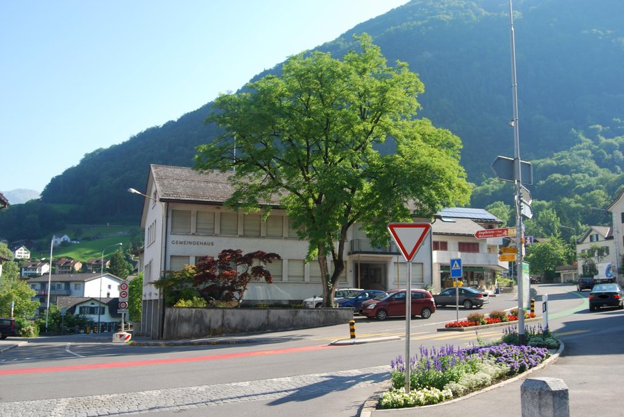 File:Mollis komunuma domo 223.jpg
Photo: Dietrich Michael Weidmann via Wikimedia Commons, CC BY-SA 3.0
If you have chosen Mollis as your travel destination, you may want to find a hotel there.
Geographical Setting
In the wider regional surroundings of Mollis, the deep Linth Valley and the smaller Sernft Valley shape the canton of Glarus; most of the canton is mountainous.
Landscape
The area surrounding Mollis includes Tristli, Tierberg, Plättlispitz and Schiberg. The village’s geographical setting therefore extends from the Lower Glarus region into the surrounding mountain landscape.
Routes and Connections
Mollis is the western terminus of the Kerenzer Pass road, which runs along the southern shore of Lake Walen towards the Rhine Valley.
Mollis and Näfels share a railway station on the Rapperswil–Glarus–Linthal regional railway line.
The village centre is served by the Glarus bus route. It connects Bilten, Ziegelbrücke, Niederurnen, Näfels, Mollis, Filzbach, Obstalden and Mühlehorn.
Culture
The wider regional surroundings of Mollis are home to Rapperswil Abbey, Muotathal Abbey and St. Adelrich Church.
Other destinations: Glarus Süd, Glarus, Obstalden, Braunwald, Engi, Näfels, Mühlehorn, Elm.
To the main travel overview: Canton of Glarus.

