
Ormalingen: Hotels and Accommodation
Accommodation in Ormalingen
Ormalingen is located in the Ergolz Valley, east of Gelterkinden, at an elevation of approximately 423 metres above sea level. The village therefore combines a clearly defined location with a rural setting and a history of settlement.
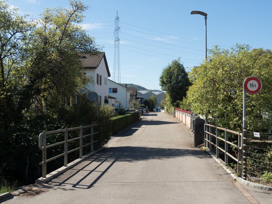 File:Farbrikweg-Brücke über die Ergolz, Ormalingen BL 20180926-jag9889.jpg
Photo: Jag9889 via Wikimedia Commons, CC BY-SA 4.0
File:Farbrikweg-Brücke über die Ergolz, Ormalingen BL 20180926-jag9889.jpg
Photo: Jag9889 via Wikimedia Commons, CC BY-SA 4.0
If you would like to book a hotel in Ormalingen, you will find the geographical and cultural context of the village here.
Natural environment
The municipality's landscape comprises forests, meadows and the Ergolz River. This setting is associated with walks and hikes. Ruchen and Mittlisberg are located in the vicinity of Ormalingen. Sissacher Fluh is situated near the village.
History and rural tradition
The archaeological evidence in Ormalingen includes a Roman villa and richly furnished Early Medieval graves. The settlement was first mentioned in 1286.
Agriculture also remains a defining part of Ormalingen's rural tradition. It is therefore just as much a part of the village landscape as the combination of meadows, forests and the course of the Ergolz River.
Surroundings
The wider regional surroundings of Ormalingen include Wartenberg – Vordere Ruine, Vindonissa, Zoo Hasel, Bipp and Iburg. The places and sights mentioned extend the geographical context of Ormalingen beyond the immediate municipal area.
More local pages: Hemmiken, Sissach, Thürnen, Läufelfingen, Wintersingen, Maisprach.
To the higher-level travel overview: Sissach District.

