
Teufenthal: Hotels and accommodations
Accommodation in Teufenthal
Teufenthal is located in the central Wynental valley in the Swiss canton of Aargau. The elevation ranges from 438 meters along the Wyna to 630 meters on the Bampf, an extension of the Surberg.
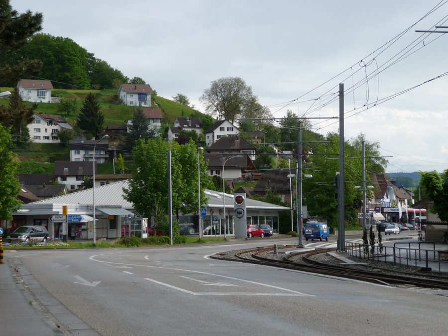
If you would like to book a hotel in Teufenthal, your stay can be focused directly on this location.
Landscape
The municipality covers 357 hectares. Of this, 155 hectares are forest and 59 hectares are built-up land. The Mittlisberg is located in the area surrounding Teufenthal. Further afield in the region are Ruchen and the Sissacher Fluh.
Trails
One described hiking route leads from Reinach via Homberg to Teufenthal. It is 17.8 kilometers long and includes 421 meters of elevation gain. In addition, a section of the Aargau South High Trail is described as a 6.8-kilometer hike from Dürrenäsch via Liebegg Castle to Teufenthal railway station.
Culture
The Beromünster Abbey is located in the area surrounding Teufenthal. Further afield in the region are Olten Monastery, Hasel Zoo, Wartensee Castle, and Fahr Abbey.
Trostburg, the village church, and the Herberge Restaurant are cultural heritage sites in Teufenthal and, at the same time, local cultural and heritage sites of the town.
More information about the locality: Unterkulm
For the overarching travel overview: Kulm.

