
Ponikiew: Hotels and accommodations
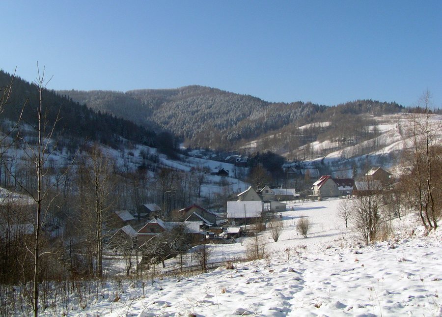
Ponikiew lies in the eastern part of the Beskid Mały, in the valley of the Ponikiewka stream. The Ponikiewka is a left-bank tributary of the Skawa. At the same time, Ponikiew is a village in the Lesser Poland Voivodeship, in Wadowice County and the Wadowice municipality.
You would like to find accommodations in Ponikiew while also placing the village in context through its landscape and trails.
Landscape
The Ponikiewka valley is bounded by the ridges of the Beskid Mały and closed off by Gancarz, which is listed as being 798 metres high. Nearby are Goryczkowiec, also called Dzwonek, as well as Groń Jana Pawła II. The surrounding area of Ponikiew also includes Tobcowa Góra and Leskowiec.
Trails
A hiking route from Ponikiew begins in the centre of the village next to the Ponikiewka and the school. It follows the blue trail towards the Pod Ganczarzem pass and the yellow trail via the mountain shelter below Leskowiec, via Zar and Kamień, and then back to Ponikiew.
Culture
Ponikiew is the endpoint of the second stage of the Małopolski Papal Trail, which runs from Gorzeń Górny to Ponikiew.
The surrounding area of Ponikiew includes Park Miniatur and kościół na osiedlu. “Graboszycach – Ruina XVII w.” is also located in the surrounding area of Ponikiew. Mirow – straznica is located in the wider regional surroundings of Ponikiew.
Other places: Jaszczurowa, Inwald, Targanice, Andrychów, Rzyki, Sułkowice
To the higher-level travel overview: Wadowice.
Check prices, availability and amenities for your travel dates directly on Booking.com.
View accommodations and offersAdvertisement · Partner link to Booking.com
