
Mengersgereuth-Hämmern: Hotels and Accommodation
Accommodation in Mengersgereuth-Hämmern
Geographical location
Mengersgereuth-Hämmern lies in the Effelder Valley on the southern edge of the Thuringian Slate Mountains. The Rennsteig-Leiter leads as a hiking route from Mengersgereuth-Hämmern in the direction of the Rennsteig ridge trail.
For your stay in Mengersgereuth-Hämmern, you would like to find suitable accommodation.
History
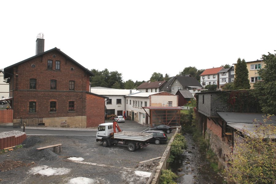
Hämmern originated in the 15th century as a miners’ settlement. Iron ore was mined around Hämmern in shafts and adits until 1866 and processed in a hammer mill, which was later called Augustenthal.
The Augustenthal section includes a forest adventure trail as well as a reconstructed charcoal burner’s workplace with an earth kiln, a pit kiln and a charcoal burner’s hut. The forest adventure trail in Augustenthal is considered suitable for wheelchair users.
Surroundings
Nearby are Sonneberg Castle, Buhler, Loosbrand and Großer Mühlberg. The surrounding area also includes the European Museum of Modern Glass, the ruins of Lauterburg Castle and Neuhaus Castle. Vesteberg is located in the wider regional area.
The municipality of Frankenblick is a rural area with a preserved village character and a varied low-mountain landscape.
Getting there
Mengersgereuth-Hämmern is considered accessible by Deutsche Bahn trains.
For the main travel overview: Sonneberg District.
More destinations
More places at the same destination:

