
Böbing: Hiking Trails, Winter Activities and Local History
Accommodation in Böbing
The hiking trails in Böbing vary in length, route and trail conditions. There are also winter activities and destinations in the wider Weilheim-Schongau travel region. This gives you the chance to compare in advance which route features and excursion themes suit your travel plans.
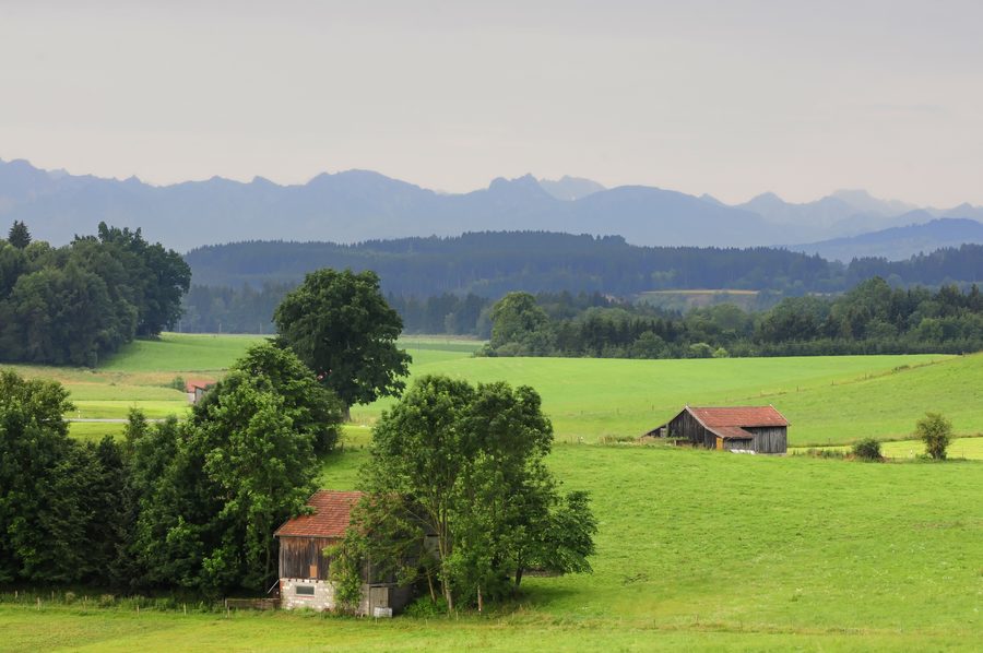 Landschaft im weiteren regionalen Rahmen des Pfaffenwinkels rund um Böbing.
Photo: Heiko Trurnit via Wikimedia Commons, CC BY-SA 3.0
Hiking trails with different profiles
The 4 km B1 hiking trail is an easy route northeast of Böbing. It goes via Leithen, Thalmühle and Lugenauer See, then returns to Böbing. Wet patches may occur between Leithen and Thalmühle in damp weather.
The easy 6 km B4 hiking trail passes the plague cemetery and the districts of Ruhe, Wimpes and Pischlach before returning to Böbing. Apart from a few short sections, it follows paved roads.
The 5 km B2 circular route passes through the western districts of Böbing and follows paved roads. The 9 km B6 initially follows the same route as B5, branches off before Kohlbachel, then returns to Böbing via Schöffauer Straße and the section before Röthenbach.
The route of the 11 km B5 Panorama Trail changes along the way: It is initially flat, then climbs, before continuing at an easy pace through a section of moorland. It then follows mostly paved roads along a ridge and past old farmhouses. Wet patches may occur in the moorland section.
The 13 km B3 hiking trail leads from Böbing to Brombergalm. It crosses meadows and cattle pastures and passes old farmhouses. The route offers wonderful views and requires a little stamina.
The 6 km B7 hiking trail leads from Böbing up to Schnalzberg to the north. There, you can enjoy sweeping views and see a summit cross. The outward route follows paved roads as far as the summit; the return route initially crosses cattle pastures and then follows paved roads again.
Two long-distance hiking trails also pass directly by Böbing: The König-Ludwig-Weg runs from Starnberg to Füssen, and the Munich Way of St. James runs from Munich to Bregenz. Their endpoints distinguish these long-distance routes from the trails described above, which start in Böbing or return there.
Winter activities and cross-country skiing in the wider travel region
Horse-drawn sleigh rides are listed as a winter activity in Böbing. The wider Weilheim-Schongau travel region also has the approximately 7-kilometre Filzloipe trail in Hohenpeißenberg. In winter, it is groomed for skating and classic cross-country skiing; availability depends on winter conditions.
Water, sports and local history
The Ammer is 4 km from the town. Experienced kayakers can follow a route from Saulgrub to the Ammer Bridge at Böbing/Rottenbuch. An easier route runs from there to Peißenberg. Kayaking is permitted from 1 May to 1 December—keep this season information in mind when planning.
Böbing has four tennis courts. For information, contact SC Böbing through Fabian Kees on +0179 1382457. This makes the tennis facility a specific sporting option to include in your travel plans.
St. George’s Parish Church in Böbing features side-altar paintings by Martin Speer of Wildsteig, dating from 1728. This historical detail complements the hiking and sporting opportunities with a cultural point of interest right in town.
For an overview of the wider travel region: Rottenbuch.

