
Moosburg a.d.Isar: Hotels and Accommodations
Accommodation in Moosburg an der Isar
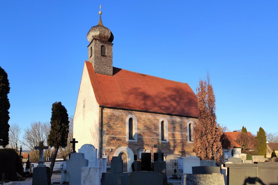 File:St. Michael Moosburg an der Isar 01.jpg
Photo: H.Helmlechner via Wikimedia Commons, CC BY-SA 4.0
File:St. Michael Moosburg an der Isar 01.jpg
Photo: H.Helmlechner via Wikimedia Commons, CC BY-SA 4.0
Moosburg a.d.Isar is situated on an island-like site between the Isar and its tributary, the Amper. The Isar, the Amper, and the Sempt rivers, as well as the Middle Isar Canal, also run directly past Moosburg.
If you are considering Moosburg a.d.Isar as a destination, you may want to book a hotel.
Geographical Location
Moosburg lies on the northeastern edge of the Munich Gravel Plain, where the plain meets the Danube-Isar Hill Country and the Isar-Inn Hill Country.
The wider Moosburg area includes riparian forests along the Isar and the Amper, including the Isarauen nature reserve between Hangenham and Moosburg.
Nature and Landscape
Öderberg, Schindlberg, Galgenberg, and Sauberg are located in the wider regional surroundings of Moosburg a.d.Isar.
History and Culture
Moosburg a.d.Isar is considered the oldest town in the Upper Bavarian district of Freising. Moosburg was granted town rights in 1331.
The site of the former transmission mast of the Erching transmitter is located in the wider regional surroundings of Moosburg a.d.Isar.
Freising St. Andreas and Altdorf Cemetery Church of the Visitation of Mary are located in the wider regional surroundings. Landshut Martinskirche is also located in these wider regional surroundings.
More destination pages: Oberambach, Langenbach.
For the overarching travel overview: Freising.

