
Discover Garching near Munich
Accommodation in Garching near Munich
Garching near Munich can be explored through four distinct points of interest: the old parish church of St. Katharina, the Isar floodplains, Garching Lake and regional cycling connections. They represent local history, a protected floodplain landscape, a lake with specified area measurements, and routes with regional connections. If you are looking for accommodation, you can first consider whether local history, scenery, the lake or cycling connections are especially important to your travel plans.
St. Katharina and the old town center
The old parish church of St. Katharina stands opposite the center of Garching’s old town. It dates from the Romanesque-Gothic period, has Baroque furnishings and is considered the city’s oldest building. The information describes two different aspects of the building: its architectural origins and its furnishings. Visitors interested in local history will find a concrete point of reference here. This focus differs from the larger landscape and route connections that also shape Garching.
The Isar floodplains as a natural landscape
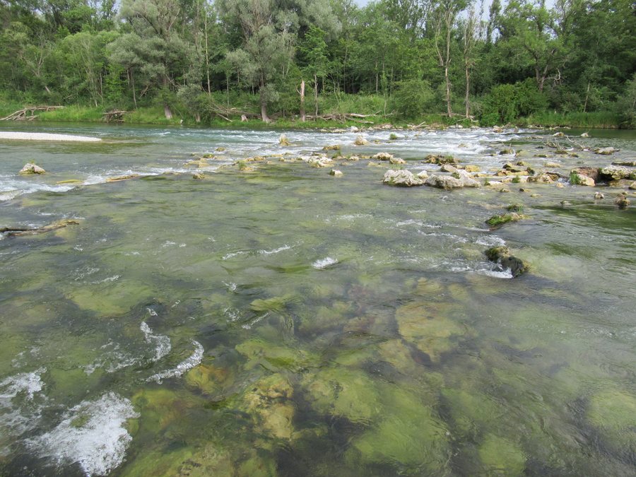
The Isar floodplains follow the Isar for more than seven kilometers. Their floodplain forest extends across the entire eastern part of Garching’s municipal area; nearby fields are also part of this landscape. In 1986, the Isar floodplains and the fields were designated a protected landscape because of their particular importance for recreational use. The scale is important here: this is a landscape along a river, not a single building or a lake with a specified shoreline length. The floodplains are therefore a distinct attraction if you want to explore Garching’s natural scenery and recreational opportunities.
Garching Lake: area and swimming season
Garching Lake covers 91,000 square meters, of which 47,000 square meters are water. Its developed shoreline is 1,000 meters long. These three measurements describe different things: total area, water area and shoreline length. This gives a more precise picture of the lake without conflating the figures. During the annual swimming season, from May 15 to September 15, the Munich-Oberföhring DLRG provides lifeguard supervision on weekends and public holidays. When planning a visit, you can check current local information about operational details. The season dates and days of the week are both relevant.
Cycling connections and trail
Garching is directly connected to the long-distance Isar Cycle Path and the Munich RadlRing. These two names give cyclists specific routes to consider when planning. Another trail runs between Eching, Neufahrn, Garching and Schleißheim. It links the Echinger Lohe, Garchinger Heide and Mallertshofer Holz with Heiden nature reserves. In Garching-Hochbrück, by the Schleißheim Canal, the Heidepfad connects to the Munich RadlRing. These are different kinds of information: the two cycling routes provide direct route connections, while the trail is described by its course and the protected areas it links.
These distinctions can help you decide what to focus on when planning your trip. St. Katharina offers a connection to local history, the Isar floodplains describe an extensive landscape, and the lake combines specific area measurements with seasonal lifeguard supervision. The cycling connections and trail, in turn, provide information about regional routes and the nature reserves they link.
Discover more destinations: Ismaning, Kirchheim near Munich, Unterföhring, Oberschleißheim, Grasbrunn, Munich, Unterschleißheim, Höhenkirchen-Siegertsbrunn.
For the broader travel overview: Munich Region.

