
Solla in Winter: Lift, Hiking Trails and Excursion Destinations
Accommodation in Solla
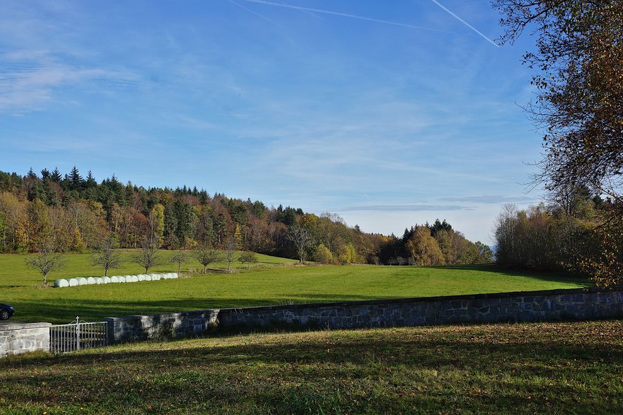 File:Landschaftsschutzgebiet Solla (Thurmansbang).jpg
Photo: Gliwi via Wikimedia Commons, CC BY-SA 4.0
File:Landschaftsschutzgebiet Solla (Thurmansbang).jpg
Photo: Gliwi via Wikimedia Commons, CC BY-SA 4.0
Solla combines the Scharten Lift with trails through meadows and forests, panoramic views, and destinations related to nature and culture. A winter day can include winter sports, hiking, and excursions as distinct areas of focus.
The Scharten Lift in Solla
In Solla, the Scharten Lift is classified as an easy lift. This designation refers to the lift itself and does not automatically apply to other parts of the winter sports offering. The lift therefore represents the village’s winter focus, while trails, nature, and culture form separate themes.
Hiking Trail No. 70 and Windhoch
On Hiking Trail No. 70, you pass through meadows and quiet forest paths around Solla and reach the Windhoch viewpoint after approximately 1.5 hours. The approximate duration refers to the route to Windhoch; breaks are added to the walking time. The route alternates between open meadow sections and quieter forest passages rather than running exclusively through one type of landscape.
From the Windhoch viewpoint, you can see across Solla and the Bavarian Forest mountains as far as the Danube Valley. In clear conditions, the Alps can also be seen. Windhoch thus combines views of the village with long-distance vistas across several landscapes. The view of the Alps depends on good visibility.
Other Hiking Destinations Around Solla
Hiking Trail No. 71 leads to the Stausee Ebenreuth bathing lake. Unlike Windhoch, the named destination here is a bathing lake. The mushroom nature trail in Solla follows existing forest paths and adds a natural history theme to the focus on trails. The two destinations expand the choice of routes to include water and forest without conflating the individual character of each destination.
Wackelstein Natural Monument
The Wackelstein is located 2 km southeast of Solla and is a natural monument. Its focus is therefore on a single natural attraction, not on a viewpoint or cultural history. The stated distance describes its location southeast of Solla.
Scharten Chapel near Thurmansbang
Approximately 750 metres southwest of Solla, near Thurmansbang, the Scharten Chapel stands on a 693 m-high hill. The medieval church is connected with the former fortified complex of the Noblemen of Scharten. The chapel is a medieval cultural destination with historical ties to the complex and a religious depiction. Inside, there is a mural depicting Saint Michael’s fight with the dragon. A small forest cemetery also forms part of the church grounds.
The destination thus combines its elevated location with a medieval connection, a religious depiction, and its own outdoor area. The approximately 750 metres indicate the distance from Solla; the 693 m refers to the hill on which the chapel stands.
Venue of the Elefantentreffen
The current venue of the Elefantentreffen is Thurmansbang-Solla/Loh. This event-related connection adds a distinct occasion in the Solla area to the nature, trail, and cultural destinations.
For the overarching travel overview: Thurmansbang.

.jpg)