
Plankenfels: Rivers, Rocks and History
Accommodation in Plankenfels
Plankenfels lies at the confluence of the three rivers Wiesent, Lochau and Truppach. The distinctive 481-metre-high Plankenstein dolomite rock towers above the town. Hiking, regional geology and local history are also defining themes. If you are looking for accommodation, you can match the town’s profile to your plans: a signposted hiking route, a distinctive rock formation and historic sites offer different ways to shape your stay.
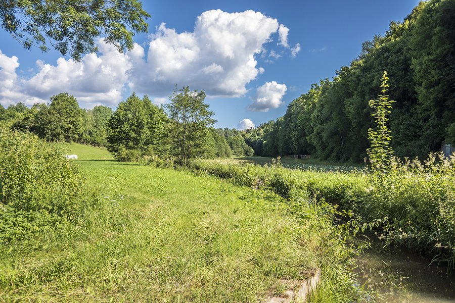 File:Blick ins Lochtautal von Plankenfels.jpg
Photo: Stephan van Helden via Wikimedia Commons, CC BY-SA 4.0
Rivers, Rocks and Geology
The Plankenstein attracts hikers with its panoramic views and is also a popular climbing rock. Hiking and climbing are therefore two distinct interests focused on the same rock. The Geo-Hiking Trail in Plankenfels offers a different focus, providing an engaging introduction to regional geology. Together with the three rivers and the distinctive dolomite rock, this creates a landscape profile encompassing waterways, rock formations and geological insights.
Hiking Trails and Excursions
The Via Imperialis starts in Plankenfels and follows paths across open land, through forests and woodland, past viewpoints and across wide stretches of open fields to Muthmannsreuth. The signposted route is 13.5 km long. Check the local signs before setting off. A detour to the Neubürg lets you explore the NaturKunstRaum Neubürg. The route thus passes through different landscapes and over a variety of surfaces; the stated distance can help you factor a hike with a fixed destination into your plans.
There is also a cultural hiking context at the municipal level: as part of the 2020 ILE regional budget, six cultural hiking trails in and around the municipality of Plankenfels were developed and published in a flyer with information. The trails cover the municipal area and its surroundings; the year refers to the project year 2020. In the wider Bayreuth travel destination, the Ochsenkopf has a 1,900 m-long south-facing slope and four groomed alpine ski runs. Some have snowmaking facilities and floodlighting until 10 p.m. Bayreuth district also has a well-maintained network of around 1,400 km of cross-country ski trails, hiking trails and cycle routes. It is important to distinguish the scale: the ski runs are at the Ochsenkopf, while the trail network covers the district.
Local History and Getting Your Bearings in the Municipality
Plankenfels Castle is thought to date back to a castle complex from 1255. The Eichenmühle mill near Plankenfels has a different history, shaped by its former use: it was a grain and sawmill, was first mentioned in official records in 1692 and ceased operating in 1955. Together, these details illustrate both a presumed castle origin and a documented history as a mill.
A small chapel stands at the southeastern edge of Schressendorf, at the edge of the forest beside a bench; it can be reached via a gravel path. Schressendorf is part of the municipality, but is a different local reference point from Plankenfels itself.
Discover more destinations: Aufseß.
Return to the wider travel overview: Hollfeld.

