
Ühlingen-Birkendorf: Hotels and accommodations
Accommodation in Ühlingen-Birkendorf
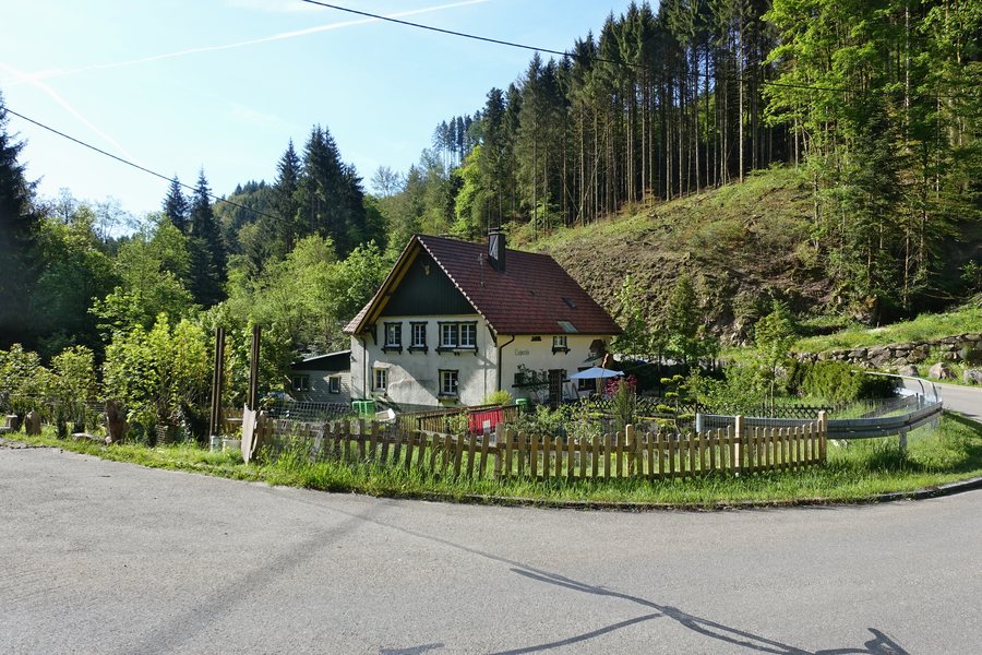
Ühlingen-Birkendorf is located on a high plateau between the Upper Rhine Plain and the southern Black Forest. The municipality ranges from 450 to 950 meters above sea level and extends across the valleys of the Schwarza, Mettma, Schlücht, and Steina rivers. As a four-valley municipality, it is part of the Southern Black Forest Nature Park.
If you would like to book a hotel in Ühlingen-Birkendorf, you are thereby making an independent accommodation decision for this locality.
Landscape
The deeply incised valleys create a strongly varied landscape that stretches in a north-south direction. Of the municipality’s total area of 7,706 hectares, 3,415 hectares are covered by forest. Staufenkopf and Lehenkopf are located in the area surrounding Ühlingen-Birkendorf.
History and culture
Archaeological evidence in the municipality includes Alemannic graves in Mettingen and Birkendorf, as well as finds and excavations from the Roman era.
Documented historical connections exist with St. Blasien Abbey, which later dominated regional land ownership. Birkendorf was already a popular holiday resort before the Second World War and won the national competition “Our Village Should Become More Beautiful” in 1973.
Further classification
In the wider regional surroundings of Ühlingen-Birkendorf are Burg, Iburg, Kuhkopf, Hasel Zoo, Vindonissa, and Munot.
For the overarching travel overview: Waldshut.
More destinations
More places within the same destination:

