
Altenschwand: Hiking, Chapels and History
Accommodation in Altenschwand
Altenschwand combines paths through the landscape with chapels and traces of local and glassmaking history. Totenbühl represents a hiking destination with a Marienkapelle and expansive views, while Altenschwand and Glashütten offer their own historical points of interest.
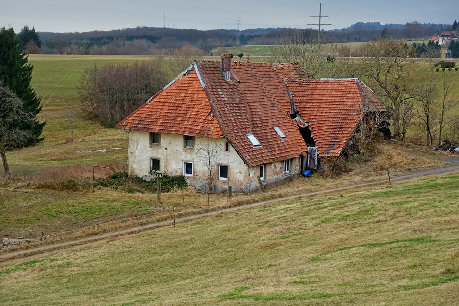
Local history of Altenschwand and Glashütten
Altenschwand emerged as a dispersed settlement and was first documented around 1300.
Glashütten was first documented in 1257 and was then a small glassblowers' village. At the same time, Glashütten is one of the oldest glassmaking settlements in the Black Forest. Glass production connects the village with its own craft tradition.
In 1301, the Beuggen Commandery of the Teutonic Order had a farm there. For those interested in culture, Altenschwand and Glashütten offer several specific points of interest: dispersed settlement, chapel, glassblowers' village and farm of the Beuggen Commandery of the Teutonic Order.
Chapels and views at Totenbühl
The Chapel of St. Anthony of Padua, dating from 1895, stands in Altenschwand. With its construction date of 1895, it belongs to a later period than the first documented mentions of Altenschwand and Glashütten.
The Marienkapelle on Totenbühl is also located in the surroundings of Altenschwand. The two chapels are therefore at different locations: one in Altenschwand, the other on Totenbühl.
The Marienkapelle is a hiking destination. From the forest edge to the southwest, the view initially extends across Altenschwand and Rickenbach to Switzerland. In suitable weather conditions, it also reaches the Alpine panorama of the Swiss Alps. Anyone incorporating this viewpoint into their hiking day should take the weather conditions into account as part of their planning.
Hiking trails with fixed reference points
The circular hiking trail is 9.41 kilometres long. This distance provides a fixed basis for your own time planning, but does not replace personal time allocation. Walking speed, planned breaks and your own time requirements must be added. If you do not hike the entire day at a steady pace, you can plan the timeframe for your own daily schedule in sections without changing the stated trail length. The stated number of kilometres remains unchanged, regardless of how you allocate breaks and pace.
On the hike to Totenbühl, the trail leads to Abhau at an elevation of 935 metres. The elevation refers to the section of trail at Abhau and can be taken into account alongside the trail length when planning personally.
The two trails differ in their starting points and destinations: the circular hiking trail leads from Rickenbach to Totenbühl, while the Strick–Naturfreundehaus–Abhau–Altenschwand winter hiking trail starts at the Strick hiking car park and leads via Naturfreundehaus and Abhau to Altenschwand. For planning the day, you can therefore first determine the starting point and then consider the trail length and elevation separately. The circular hiking trail is laid out as a loop; the winter hiking trail, on the other hand, leads to Altenschwand. For planning the day, the starting point, destination and waypoints therefore count just as much as the trail length and elevation.
For the overarching travel overview: Rickenbach.

