
Niederwasser: Hotels and Accommodations
Accommodation in Niederwasser
In Niederwasser, Karlstein is a granite-block rock formation at almost 1,000 meters above sea level. It lies directly on the Westweg long-distance hiking trail and offers views to the east, north, and south.
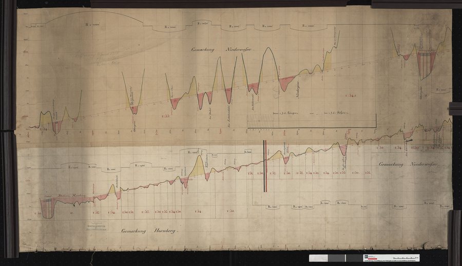 File:Nivellement der Bahn von Offenburg bis Singen- Hornberg bis Niederwasser Streckenausschnitt- 42,9 bis 52,5 km - LABW - Generallandesarchiv Karlsruhe 421 K 1 Nr. 160.jpg
Photo: Photo: This image was catalogued by Generallandesarchiv Karlsruhe of the Landesarchiv Baden-Württemberg under ID: 421 K 1 Nr. 160 .
File:Nivellement der Bahn von Offenburg bis Singen- Hornberg bis Niederwasser Streckenausschnitt- 42,9 bis 52,5 km - LABW - Generallandesarchiv Karlsruhe 421 K 1 Nr. 160.jpg
Photo: Photo: This image was catalogued by Generallandesarchiv Karlsruhe of the Landesarchiv Baden-Württemberg under ID: 421 K 1 Nr. 160 .
Finding a hotel in Niederwasser can be part of planning your own trip.
Landscape
The Immelsbacherhöhe, Hasenkopf, and Windkapf are located in the immediate vicinity of Niederwasser. Hohnen is located in the surrounding area of Niederwasser.
History and Culture
Karlstein also has historical significance: Until 1805, it marked a four-territory border meeting between Baden, Württemberg, the Fürstenberg territories, and the possessions of Vorderösterreich.
The surrounding area of Niederwasser also includes the former St. Georgen Monastery in the Black Forest and the Wolfach ruins. The broader regional area is home to the Brewery Museum and the Magdalenenberg.
Geographical Location
Hornberg, with its districts of Niederwasser and Reichenbach, is located in the Gutach Valley, a side valley of the Kinzig Valley. The area around Hornberg is accessible by train via the Black Forest Railway and offers marked hiking trails as well as Nordic walking and mountain biking tours.
For the higher-level travel overview: Hornberg.
