
Nová Lhota: Winter Trails to Velká Javořina
Accommodation in Nová Lhota
A popular blue-marked hiking trail to Velká Javořina leads through Nová Lhota. At 970 m, it is the highest point in the White Carpathians. In winter, a groomed cross-country ski trail is maintained along the route from Vápenky to Velká Javořina.
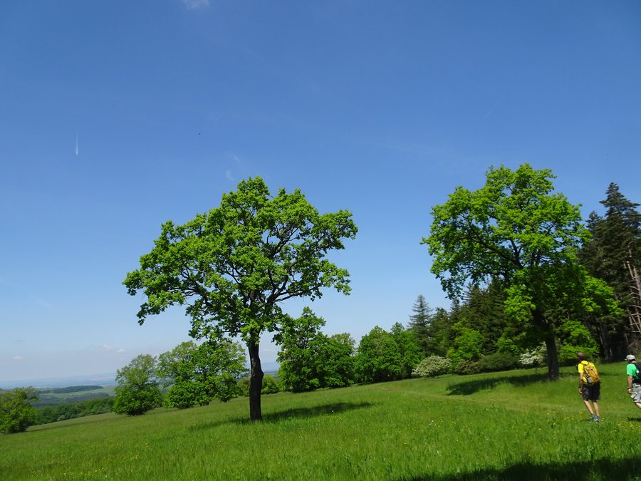
Winter Trails and Velká Javořina
The shortest version of the Javořinská educational trail is a 5 km route from Vápenky to the summit of Velká Javořina. From Vápenky, the Javořinská educational trail continues with numerous rest areas and information panels about the local fauna and flora. A 13 km difficult hiking loop to Velká Javořina can begin in Vápenky, follow the yellow route to Kamenná búda, and then continue along the red route to the summit; the return to Vápenky follows the blue route.
For route planning in Nová Lhota, the information can be read according to several clear features: the blue-marked trail leads from the village to Velká Javořina, the educational trail begins in Vápenky and adds rest areas and information panels along the route, while the 13 km loop also specifies a difficult rating and a designated return route via the blue trail. This keeps the length, marking, trail character, and route separate and easy to compare.
Landscape
Nová Lhota is located in the Bílé Karpaty Protected Landscape Area. Hradisko and Kamenná Vrata are considered mountains in the immediate vicinity of Nová Lhota; in the surrounding area, Malá Javořina and Lesná are each considered mountains.
You can also find the locality pages for Velká Nad Veličkou, Kuželov, Hodonín U Kunštátu and Javorník.
When booking accommodation around Nová Lhota, travel dates, room category, and cancellation conditions can be considered as separate details. This keeps the practical arrangements clear alongside the trails, landscape features, and cultural details of the area without mixing these pieces of information together.
Culture and History
Vápenky was established below the Javořina Massif toward the end of the 18th century as a workers’ settlement on the border of the former estates of Ostroh and Strážnice. The name Vápenky derives from the historical limestone mining carried out to supply the glassworks in Květná.
Numerous picturesque folk houses have been preserved in Vápenky; they are protected as a heritage conservation area. The present-day Church of St. Matthew in Nová Lhota was founded in 1729, is dedicated to Saint Matthew, and has a side altar dedicated to the Virgin Mary.
Nová Lhota differs from other villages in Horňácko mainly through its language, traditional dress, dancing style, and several distinctive dance forms. The main dances include sedlácké and konopice; their older forms show features of dances from the mountain regions.
In the wider region around Nová Lhota, Branč [Podbranč], Kaštieľ Sobotište, and Dobrá Voda are each considered castles; Hrad Čachtice is considered a ruin there.
For the broader travel overview: Hodonín District.

.jpg)