
Maurach: Theme Trail, Waterfall Route and Achensee Railway
Accommodation in Maurach
Maurach lies on a sunny high plateau between the Karwendel Nature Park to the west and the Rofan Mountains to the east. This landscape setting provides the backdrop when choosing accommodation; the individual trails and transport connections help with specific planning. In Maurach, the Achensee Geo.Weg trail explores the history of the landscape, a route from Maurach leads to the viewing platform at Dalfaz Waterfall, and the Achensee Railway terminates in the village. This makes it possible to consider the landscape, excursions and travel separately.
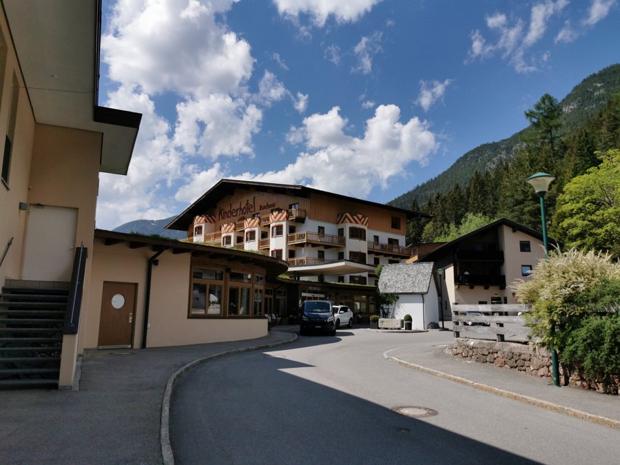 File:AUT – Tirol – Bezirk Schwaz in Tirol — Gemeinde Eben am Achensee — Maurach am Achensee — Buchau — Buchauer Straße 3 (Hotel Buchau und Notburga-Kapelle) 2022-05-15.jpg
Photo: Photo: User:Mateus2019
Achensee Geo.Weg: Understanding the landscape
The Achensee Geo.Weg trail in Maurach is around one kilometre long and has ten stations. Topics include the formation of the landscape, traces of the Ice Age and fossils. Information panels explain the subjects in short texts, and there are also display stones that visitors can touch. The stations divide the trail into individual learning points, so its character is shaped not only by its length but also by the topics covered. If you are choosing accommodation for a stay focused on nature and landscape, you can include this trail in your plans as a specific point of interest. The approximate length gives an indication of the distance; the ten stations and short explanations make the trail’s educational structure clear. The display stones complement the panels with examples that visitors can touch.
Views and route
One route in Maurach continues to the viewing platform at Dalfaz Waterfall and then returns via a forest road to the valley station of the Rofan cable car. The route therefore includes a named viewpoint and a return leg to the valley station. Its focus differs from that of the Geo.Weg: here, the main attraction is the viewpoint, while the Geo.Weg features stations on the formation of the landscape, the Ice Age and fossils. When planning, you can decide whether you prefer a geological theme trail or a route combining a waterfall view with a further walk. Trail conditions and access may vary; check the current situation before setting out.
Train and bus connections
Maurach is the terminus of the Achensee Railway, Europe’s oldest cog railway still powered by steam. The terminus makes the village a railway destination, and the railway’s technical features also make it a subject of cultural history. You can therefore include it in your travel plans both as a means of getting there and as a railway attraction.
You can travel to Maurach am Achensee on regional bus routes 8336, 4080 and 390; get off at the Maurach Atoll Achensee stop. Routes and timetables may change, so it is worth checking the current timetable before departure. The transport information is clearly differentiated for planning purposes: several bus routes and a named stop are provided, while Maurach’s status as the Achensee Railway terminus is the key reference point for the train.
Choose accommodation to suit your travel interests
The Geo.Weg offers a short nature trail focused on specific topics and divided into stations; the waterfall route offers a viewpoint followed by a return walk to the valley station; and the transport information identifies two specific ways to get there. Consider which of these will actually shape your stay. If you plan to travel by bus, verify the timetable and routes before departure; for the waterfall walk, be aware that trail conditions and access may vary.
Discover more destinations: Lärchenwiese, Fügenberg, Hart Im Zillertal, Aschau Im Zillertal, Strass Im Zillertal, Kaltenbach, Pertisau, Stans.
Go to the main travel overview: Schwaz District.
