
Undervelier: Hotels and Accommodation
Accommodation in Undervelier
Undervelier lies at an altitude of 536 m, twelve kilometres southwest of Delémont, in a widening of the valley on both sides of the Sorne between two Jura cluses.
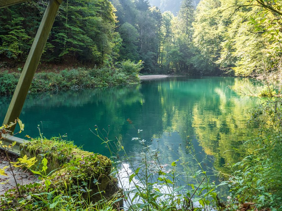
You can find accommodation for a stay in Undervelier.
Culture
The historic site of Lützel and Lützel Abbey are located in the vicinity of Undervelier. The Château de Morimont ruins are located in the wider regional surroundings of Undervelier.
Hiking
The Ether Hike in Undervelier is one of four power trails developed by geobiologist Joëlle Chautems in the municipality of Haute-Sorne; good hiking shoes are required for the hike.
Surroundings
The Aquarium Etang des Coeudres and the Voliere Solothurn Zoo are located in the wider regional surroundings of Undervelier.
Landscape
The hills of Mont Russelin, Cras au Sauvage and Le Châtillon are located in the vicinity of Undervelier.
The Sorne, a left-bank tributary of the Birs, has carved two gorges through the Jura ranges. The Gorges du Pichoux lie south of Undervelier, while the lower gorge of the Sorne lies north of the village.
In the former municipality of Undervelier, 2% consisted of settlement areas, 73% of forests and wooded areas, and 24% of agricultural land in 1997.
Location and transport
Undervelier lies on the regional road from Bassecourt via Bellelay to Tavannes and is connected to public transport by a bus route from Bassecourt to Soulce.
For further geographical context: Saulcy.
For the broader travel overview: Delsberg.

