
Villorsonnens: Hotels and Accommodation
Accommodation in Villorsonnens
Geographical location
Orsonnens is a locality and former independent municipality in the Glâne District of the Canton of Fribourg, Switzerland. Following the merger in 2001, Orsonnens became part of the municipality of Villorsonnens.
Orsonnens lies at around 699 metres above sea level on a spur at the southern edge of the Neirigue Valley, near the confluence of the Neirigue and the Glâne, in the Molasse hill country of the Fribourg Midlands.
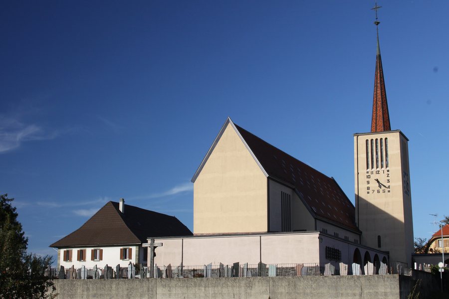 Church of St. Pierre, Chemin de l’Église 5, Orsonnens
Photo: WWHenderson20 via Wikimedia Commons, CC BY-SA 3.0
Church of St. Pierre, Chemin de l’Église 5, Orsonnens
Photo: WWHenderson20 via Wikimedia Commons, CC BY-SA 3.0
If you are travelling to Villorsonnens, you may wish to book a hotel.
Landscape
The former municipal area included the Neirigue to the north, the Fin d'Avau hill and the Bois du Vernex forest to the east, and the wooded Bois de Saugy slope to the south.
The Käsenberg is located in the vicinity of Orsonnens. The wider regional area also includes Laubspitz, Dent de Brenleire and Rochers de St. Jacques.
Culture and surroundings
The wider regional area around Orsonnens includes Collège St. Michel and the Menhirs de Clendy.
To the higher-level travel overview: Glâne.
More destinations
More places at the same destination:

