
Lampenberg: Hotels and Accommodation
Accommodation in Lampenberg
Lampenberg lies on a plateau between the Vorderes Frenkental and Hinteres Frenkental valleys. The village is sheltered in a hollow, and numerous hiking trails lead to Lampenberg.
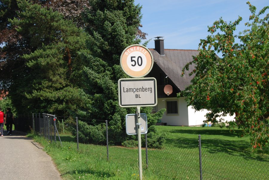
Routes and Connections
BLT bus route 93 connects Lampenberg with Lampenberg/Ramlinsburg railway station and the Waldenburg railway. A special route is the Wildenstein circular hike, which starts and ends in Lampenberg. It has 113 metres of ascent and 113 metres of descent. A five-minute detour leads to the Sormatt waterfall. The hike offers far-reaching views; Wildenstein Castle is its highlight.
Another route from Lampenberg climbs to Stälzler, where flint was mined in the Stone Age.
History
Lampenberg was first mentioned in writing in 1226. The place is considered a late Alemannic settlement dating from the 6th or 7th century. Traces of a Neolithic flint mine were discovered in Stälzler Forest in 1989. Flint from Stälzler was used to make axes, blades, arrowheads, scrapers, burins and drills.
In the Middle Ages, Lampenberg had a chapel dedicated to Saint Verena; in 1532, it was converted into a residential building.
On Site
The Abendsmatt restaurant in Lampenberg offers food from its own production. The Abendsmatt B&B in Lampenberg offers overnight accommodation in a hiking area. The Abendsmatt motorhome pitch is a parking area for motorhomes in Lampenberg.
Once Lampenberg has been chosen as your destination, you may wish to find accommodation.
For the higher-level travel overview: Waldenburg District.
More destinations
More places within the same destination:

