
Holderbank: Hotels and accommodation
Accommodation in Holderbank
Holderbank lies on the Aare between Lenzburg and Brugg, between the river and the steep western slope of the Chestenberg. The municipality covers forests, rocky slopes, gravel pits and the Aare river landscape; it rises from 348 metres at the Aare to 647 metres at the highest point.
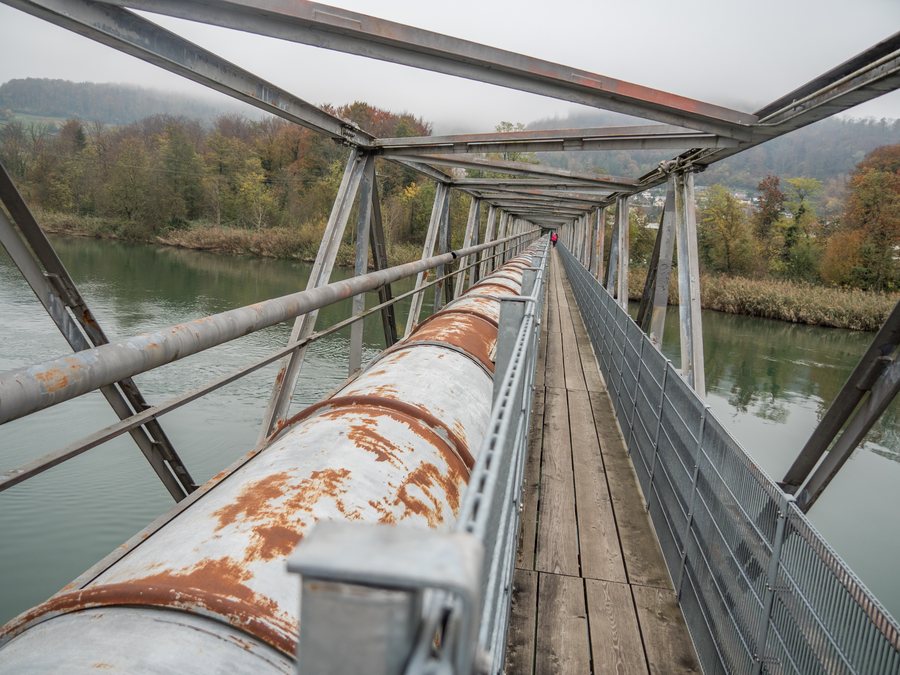 File:Aaresteg mit Rohrleitung über die Aare, Veltheim AG – Holderbank AG 20241030-jag9889.jpg
Photo: Jag9889 via Source, CC BY-SA 4.0
File:Aaresteg mit Rohrleitung über die Aare, Veltheim AG – Holderbank AG 20241030-jag9889.jpg
Photo: Jag9889 via Source, CC BY-SA 4.0
If you would like to stay overnight in Holderbank, you can find a hotel.
Nature
Hiking trails run along the Aare and over the Chestenberg ridge. The Chestenberg trail network offers views over the Swiss Plateau, the Aare Valley and the Schenkenberg Valley.
Activities on the water are possible on the Aare, including fishing from the shore or from a boat, as well as walks along the Aare dam.
History
Visible traces of the former cement and lime production have been preserved in the townscape. The former quarry area divides the village into two parts.
In 1259, Holderbank was first mentioned as Halderwang. Historical connections exist with Murbach Abbey, Habsburg rule and Bernese rule; in 1803, Holderbank became part of the canton of Aargau.
Surroundings
The Hasel Zoo, Mittlisberg, the town church and Egg are located in the area around Holderbank.
In the wider regional surroundings of Holderbank are Fahr Abbey, Iburg, Olten Abbey and Ruchen.
Connections
Holderbank has an SBB stop with rail connections to Aarau and Brugg, as well as onward connections throughout Switzerland.
More local pages: Lenzburg, Möriken-Wildegg, Hunzenschwil
To the higher-level travel overview: Lenzburg District.

