
Ski holidays in Gorgany and Chornohora
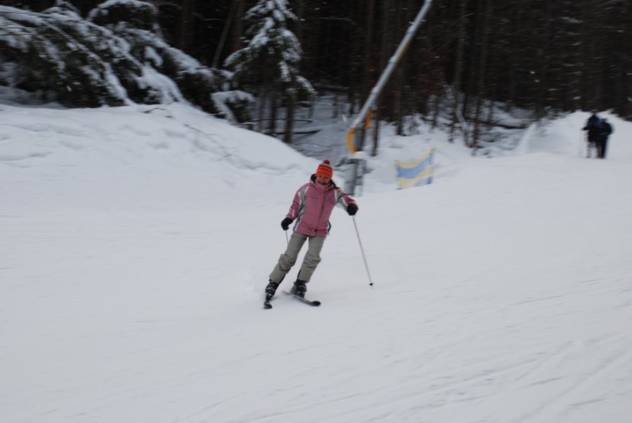 Eine Skifahrerin fährt auf einer verschneiten Piste zwischen winterlichen Bäumen.
Photo: Olga Buko
Key facts
- Gorgany (Ґорґани) and Chornohora (Чорногора) are neighboring mountain regions in the Outer Eastern Carpathians.
- Gorgany is characterized by forested slopes and extensive boulder fields on its higher peaks.
- Syvulia (Сивуля), at 1,836 meters, is the highest peak in Gorgany.
- Hoverla (Говерла, 2,061 meters) and Pip Ivan (Піп Іван, 2,022 meters) are in the Chornohora range.
- Bukovel and Drahobrat (Драгобрат) are separate winter sports destinations in the Ukrainian Carpathians.
- On October 31, 2026, the German Federal Foreign Office warned against travel to Ukraine; western parts of the country may also be affected by attacks.
Two distinct mountain regions
Gorgany (Ґорґани) and Chornohora (Чорногора) are in the Ukrainian Carpathians. Gorgany borders the Chornohora range. Its higher peaks are covered by extensive scree and boulder fields; the local terms Gorgan, Grechit, and Tsekota refer to this characteristic landscape. More than four-fifths of Gorgany is forested, mostly with spruce. Above about 1,450 to 1,500 meters, the forest gives way to krummholz zones with dwarf pines.
The Chornohora forms a separate, higher mountain range along the administrative boundary between Ivano-Frankivsk and Zakarpattia oblasts. Hoverla rises to 2,061 meters, and Pip Ivan to 2,022 meters. Much of the range forms the watershed between the Prut and Tysa rivers.
Safety comes first
The German Federal Foreign Office warned against travel to Ukraine on October 31, 2026. According to its guidance, fighting and frequent air attacks are taking place in Ukraine; attacks also occur in the west, including in Zakarpattia and Ivano-Frankivsk. Ukrainian airspace is closed; entry to and departure from the country are possible only by land. Consular assistance for German nationals is severely limited. For later assessments, the official guidance in effect at the relevant time is decisive.
